
Walk an Atlanta Street by Address
Begin with geography, not a person’s name. Atlanta crosses Fulton and DeKalb counties, and an Atlanta mailing label does not prove that a parcel lies inside the city. Preserve every part of the address, especially NE, NW, SE, or SW. Peachtree Street, Peachtree Road, and West Peachtree Street are separate search keys. Once the county and parcel are right, each later result has a sound base.
The modern Atlanta street directory is a chain rather than one official list. It joins ownership, map context, recorded transfers, public permits, and dated directory evidence. Work in this order:
- Confirm city limits and county with Atlanta Property Information or the county map service.
- Search the correct assessor by location address and save the parcel ID, situs address, owner, and legal description.
- Open GIS, select nearby parcels, and compare the street segment with the assessor result.
- Use the deed book/page or owner name in the GSCCCA index, matching the legal description at each transfer.
- Add permits, a lawfully obtained voter list, or Haines criss-cross volumes only for the dates and facts each source supports.
This sequence separates a parcel owner from a listed occupant. It also gives a way back when a portal rejects an address or a street name changed.
Resolve Atlanta Street Geography First
Most Atlanta parcels are in Fulton County, while a substantial eastern part of the city lies in DeKalb County. ZIP codes add confusion because postal Atlanta extends beyond municipal limits. The Atlanta maps and GIS hub supplies property, zoning, planning, NPU, and city-limit resources. The Fulton map directory links parcel, voting, floodplain, and county viewers.
Exact transcription matters. Keep the quadrant, road type, unit, and complete Peachtree name. For a condominium, find the unit parcel instead of stopping at a common-area parcel. For an apartment building, expect the roll to name its owner, not each person who lives there.
Atlanta address tip. Resolve the county, city limit, quadrant, and unit before using any owner or resident name as a search key.
Search Atlanta Street Directory Parcels
The Fulton County Board of Assessors property search accepts an owner name, location address, parcel ID, or map choice. A parcel card can contain the owner and mailing address, physical or situs address, legal description, land lot, class, values, sales, building traits, and exemption indicators. The mailing address may belong to an estate, company, attorney, post office box, or preferred contact point. It is not proof of residence.
| Search route | Input | Useful result | Limit |
|---|---|---|---|
| Location | Street number and name | Parcel and situs | Needs exact form |
| Owner | Person or entity | Owned parcels | Not occupancy |
| Parcel | Parcel ID | Direct card | County-specific |
| Map | Visible selection | Nearby lots | Verify in roll |
The Georgia Department of Revenue keeps an official county portal directory when the address proves to be in DeKalb or another county. Office copies and certification remain fallback channels.
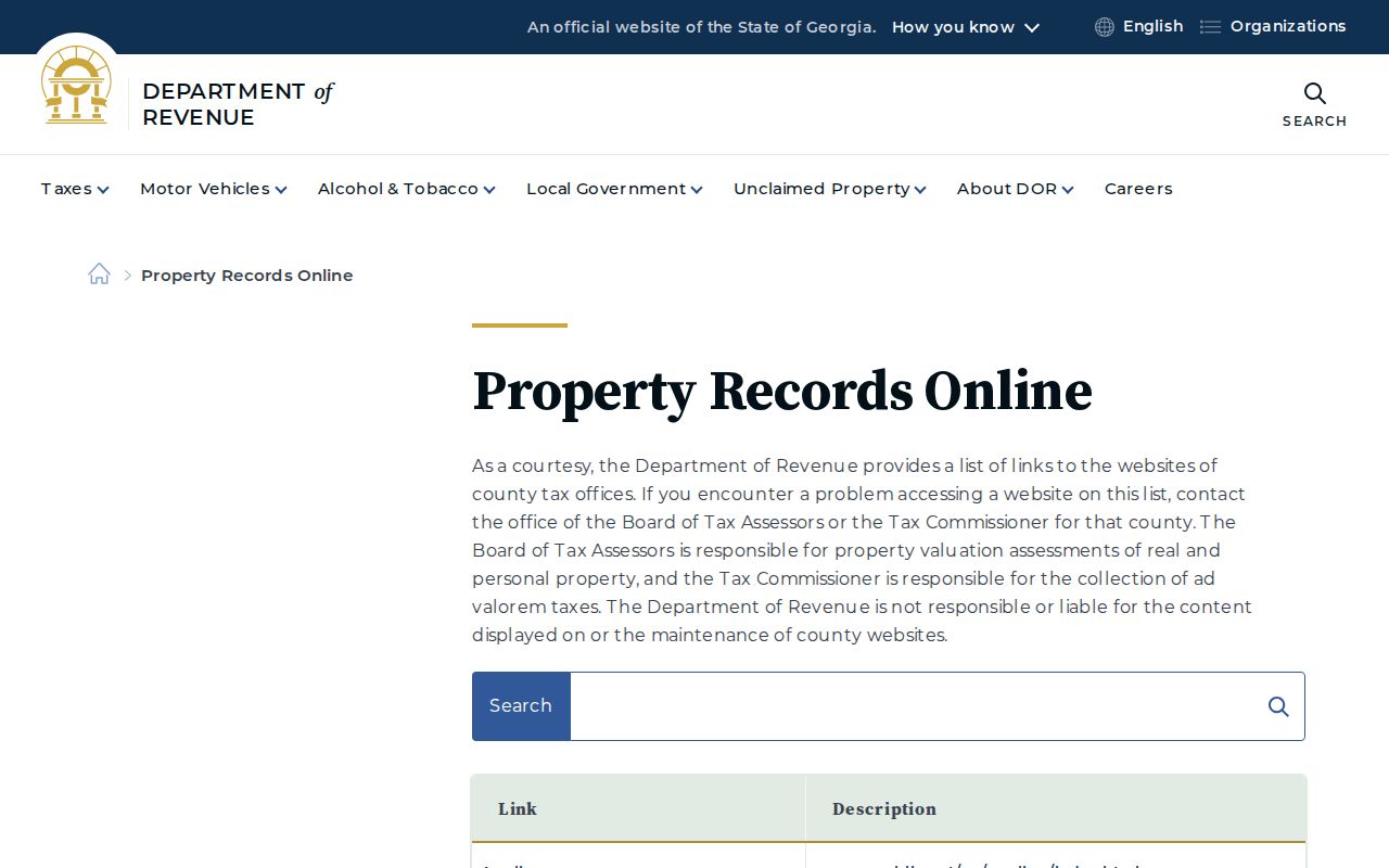
The state directory is the practical fallback when city, county, and postal labels do not point to the same assessor.
Export an Atlanta Street Segment
Atlanta Property Information has an unusually useful address function. A user can select a point or area, add a buffer, and export owners, addresses, and parcel numbers. Planning Viewer adds boundaries, zoning, land use, drawing, measuring, printing, and Street View. Fulton GIS layers add tax parcels, lot dimensions, land lots, subdivisions, ZIP areas, flood information, and planning districts.
Open the Atlanta GIS catalog, locate the address, zoom to parcel lines, and select only the stretch needed. Export the result, then verify each row against the assessor. GIS gives spatial context, not certified title. Its owner label may lag a deed.
View the Fulton County maps used in the Atlanta street workflow.
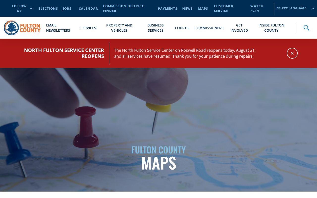
The county page illustrates why the right parcel tool must follow a county check.
Atlanta Records Indexed by Street
No single Atlanta street directory contains every household. Each address-keyed source answers a narrow question and has its own custodian.
| Record | Keeper | Street evidence | Access |
|---|---|---|---|
| Parcel roll | County assessor | Owner, situs, parcel, sales | Web, map, counter |
| GIS | Atlanta/county | Shape, NPU, zoning | Viewer, export |
| Deeds/plats | Superior Court clerk | Transfers, legal land | GSCCCA, deed room, Archives |
| Permits | Office of Buildings | Work, applicant, dates | Portal, appointment, request |
| Voter list | Georgia SOS | Released name/address | Purchased file, county request |
| Criss-cross | Central Library | Listed occupant/phone | Walk-in, 1946–2016/17 |
When the web fails, call or visit the custodian, request the specific record by address and date, or use the library and Georgia Archives. Fulton Real Estate Division is at 136 Pryor Street SW, ground floor, and customer service is 404-613-5313.
Turn Atlanta Parcels Into Deeds
A parcel ID and legal description bridge a street address to ownership. The GSCCCA Real Estate index searches county, grantor or grantee, book/page, instrument number, type, and date. A grantor gives or sells land; a grantee receives it. Open the latest transfer, then follow its prior reference or search the seller as an earlier grantee.
Results can show county, instrument, date, type, parties, and image link. Match land lot and legal description. Web images may require an account or charge, and no stable public cutoff was verified. Use the Clerk’s deed room when needed. Georgia Archives holds Fulton deeds and mortgages from 1850 through 1931.
- Parcel
- A mapped unit of assessed land.
- Situs address
- The physical location, distinct from tax mail.
- Plat
- A recorded lot and block drawing.
- Criss-cross directory
- A volume arranged by address or phone.
Read Atlanta Permits by Address
The city’s online permitting resources cover building, trade, planning, tree, zoning, preservation, and related records. Fields include address, permit number, record type, date range, and sometimes applicant or contractor. New submissions require login, but search and request channels can reveal dated work.
A request can identify plans, building and trade permits, inspections, enforcement files, violations, or a certificate of occupancy. Include the address, permit number, and narrow date range. Review appointments use 404-865-8451; records requests use openrecords-planningbuildings@atlantaga.gov. The cited 2024 form lists research and copy charges, so verify current fees.
A permit may name an older owner or applicant and date demolition, conversion, or additions. It does not provide a household roster.
Reverse Atlanta Streets Through Time
Central Library Special Collections holds Haines criss-cross directories from 1946 through 2016–2017. Start with street and house number, then read the listed name or phone. Older Atlanta directories span 1859–60 through 1991 and sometimes have street sections, though their arrangement changes.
All volumes allow walk-in use; questions go to Library.SpecColl@fultoncountyga.gov. Details belong on the Atlanta city directory collections page. Use adjacent years because canvass dates and omissions can skew one edition.
These volumes offer dated publisher evidence, not proof of present residence.
Bridge Atlanta's 1926 Renumbering
Georgia Archives holds City of Atlanta house-numbering maps created in 1926, series 160-20-016. They can explain why a household seems to vanish while the parcel remains. It also lists Atlanta Waterworks blueprints, surveys, and plats from 1917 through 1932.
Fulton was created from DeKalb in 1853 and absorbed Campbell and Milton Counties in 1932. Older land may be filed under a predecessor county. Use the map, legal description, plat, and archive before treating a changed number or courthouse name as a break.
Note: A legal description often survives a street-name or number change better than the address printed in a directory.
Atlanta Street Voter Evidence
Georgia My Voter Page requires first initial, last name, county, and date of birth. It cannot browse by street. A match can show status, registered residence, precinct, districts, ballot, and participation history, but never vote choices. Georgia registers no party affiliation.
Street work uses the separate public list under O.C.G.A. §§ 21-2-225 and 21-2-234, or a focused county request. Social Security and ID numbers, birth month/day, email, phone, and protected fields stay confidential. Never try to defeat a Safe at Home substitute address.
Use voter data as a dated registration clue. Inactive status alone does not prove a move.
Request Missing Atlanta Street Records
Portal results are only one access channel. When a permit, map, inspection, or county file is missing online, send a focused request to the office that created it. Atlanta routes city records through designated departmental custodians. Fulton County uses its Open Records Center and named county contacts. Under the Georgia Open Records Act, O.C.G.A. §§ 50-18-70 through 50-18-77, an agency normally responds within three business days by producing records, citing an exemption, or giving a timetable and cost estimate.
Supply the full address, quadrant, parcel or permit number if known, record type, and a tight date range. Ask for electronic delivery when useful. A narrow request saves staff search time and reduces fees. If the record is held by the Clerk, assessor, library, or Archives instead, use that office’s index, counter, mail, or reading-room process rather than sending a citywide request.
The Georgia Attorney General open-records instructions include a model request. Fulton’s Open Records Center allows a requester to submit, track, communicate, and download. For an Atlanta street directory investigation, name the exact durable record wanted instead of asking an office to identify everyone connected with an address.
Limits of an Atlanta Street Directory
Ownership records omit renters and household members. A trust or firm may stand in for a person. Utility, delivery, and DMV customer addresses are not public street rolls, while some residents use legal address protection.
A condo address may hide hundreds of unit parcels, and an apartment parcel may show one owner. Old volumes may use initials or stale data. Tie each result to its source and date.
Lawful use. Use Atlanta address records for legitimate personal, family, property, or civic research, and never to stalk, harass, threaten, or expose a protected person.